Apple's plan to beat Google Maps includes drones and indoor navigation
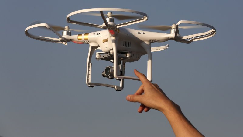
According to Bloomberg, Apple wants to start using drones to improve its Apple Maps application. The drones would fly around street signs and over construction sites and other rapidly changing areas in an effort to track and log updates faster than rival mapping software from Google.
Bloomberg notes that Apple was granted approval from the Federal Aviation Administration to "operate an unmanned aircraft system to conduct data collection, photography, and videography" on March 22, 2016. Apple reportedly agreed to fly drones mostly during daylight hours, to employ licensed pilots to operate them, and to avoid flying them over people and buildings.
Another improvement Apple wants to make to its mapping software would help users navigate inside high-traffic buildings. Recently acquired startups Indoor.io and WiFiSlam have experience with indoor navigation, which relies on technology integrated into iPhones that allow them to track their location, even with limited GPS signals. According to Bloomberg, these features could be released as early as 2017.
Nouvelles connexes