Google Street View Pedals Through The World's Parks
In Google's relentless push to map and photograph the world's public spaces, the search giant has prepared custom trikes to bring its Street View treatment to parks.
Using these specially developed, tech-laden trikes, riders can take 360-degree photographs of trails and parks as they pedal through, providing would-be visitors a chance to see the sights without leaving the comfort of their couch.
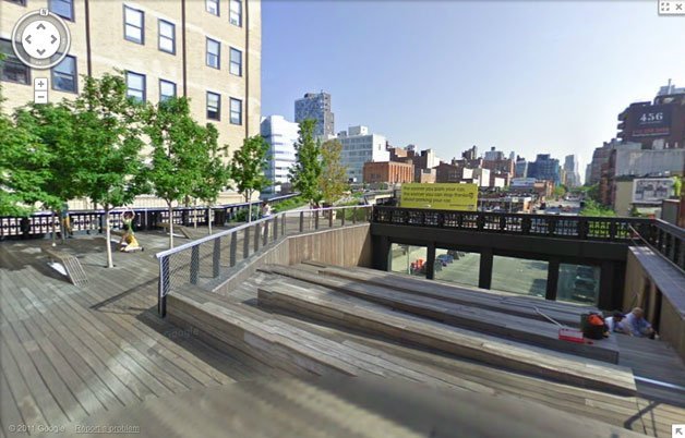
One of the latest parks to get mapped is New York's High Line, a 1.5-mile elevated park that used to handle freight rail traffic track on Manhattan's West Side. (If you ever visit the High Line, you'll see that the park's designers actually incorporated train tracks into the walking paths, in a nod to the park's origins.) Other parks that have been similarly mapped include London's Kensington Gardens and Tokyo's Koganei Park.
Nouvelles connexes