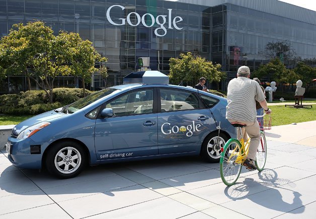
Why Autonomous Cars Might Require Their Own Kind of Maps

Today's "meter-resolution" maps are dandy for GPS, but the resolution will need to be wildly improved for driverless cars, Wired writes in a great read on the need for HD mapping. Autonomous cars will need to know where curbs are in relation to the vehicle and that it needs to be accurate down to just a couple centimeters, or barely an inch. "If you just have a bunch of sensors on the car that detect things in real time and no a priori information about what exists, the problem becomes a lot harder," John Ristevski, head of reality capture for Nokia's mapping outfit, Here, told Wired. "The maps are essential."
To develop these maps, Nokia isn't relying just on the typical aerial and satellite shots. It's also drawing anonymized "probe data" from the GPS systems used in the fleet vehicles of shipping and trucking companies, which is good for 100 billion data points per month. The Finnish company's biggest asset, though, are a fleet of some 200 vehicles fitted with GPS, cameras and Lidar systems.
Those vehicles are responsible for the most detailed mapping data, and according to Wired, have covered 1.2 million miles in 30 different countries over the past 15 months. They use 32 different beams that collect 700,000 data points per second and can scan 10 to 15 stories above ground level. The Lidar lasers even record street signs, which according to Wired, stand out because of their reflective finish. Beyond that, sensors record yaw, pitch and roll to record the exact shape of the road service.


